Reddish Knob
Harrisonburg, VA
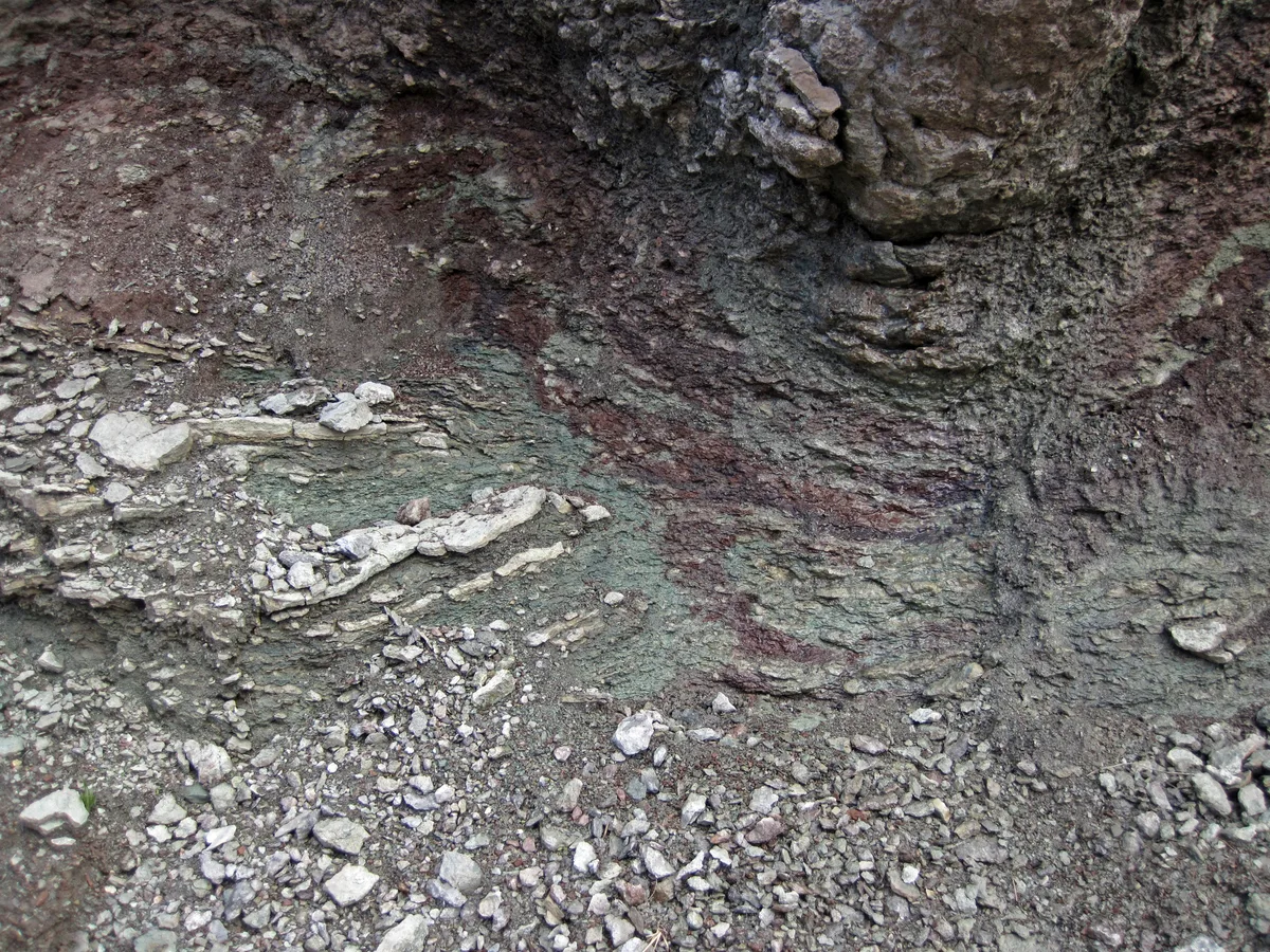
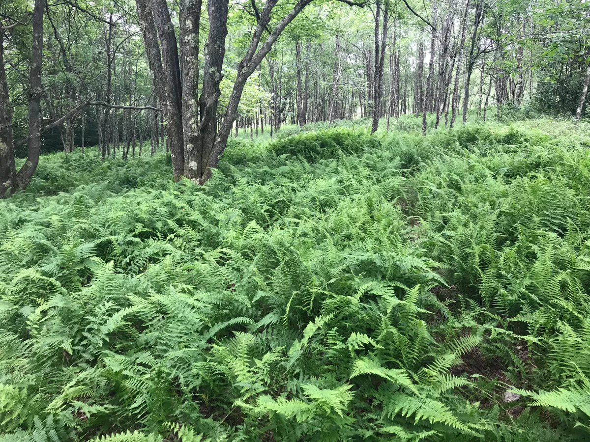
At 4,397 feet, Reddish Knob is one of the highest accessible peaks in Virginia - a grassy bald summit with a 360-degree panorama spanning the Shenandoah Valley, Allegheny highlands, and on clear days, the Blue Ridge.
Photography Guide
- Best Time
- sunrise
- Crowds
- Quiet
- Shot Types
- panoramiclandscapesunrise
- Best Seasons
- fallspringsummer
Author's Comments
Most overlooks give you a direction. A preferred view, a cardinal point to face, a valley that opens only one way. Reddish Knob gives you everything, all at once, and the sky above is as much the subject as the land below. The gravel road climbs from the valley and deposits you near the top, which feels like a small betrayal of effort until you step out and the wind finds you. Even in June, there is something alpine about this place. The summit is grassy and open and the horizon completes itself in every direction. West into the Alleghenies, east toward the Blue Ridge, north and south along ridges that soften with distance into something almost watercolor. I have been here at sunrise in early October and the valley fog was so complete it looked like a white sea below us, the ridges rising as islands. That is the photograph Reddish Knob holds in reserve for the patient. You cannot engineer it. You can only show up early, drive the gravel road in the dark with the windows down, and wait to see what the morning decides to do. Bring more layers than you think you need. The wind is not symbolic, it is constant and serious. And bring a wide lens, though know that no single frame will contain what you are actually seeing. That might be the most honest thing about this summit. Some places exceed the frame.
Gallery
You might also like
Nearby Places

Seneca Rocks, WV
Seneca Rocks
A dramatic quartzite fin rising 900 feet above the North Fork Valley - one of the most distinctive geological formations in the eastern United States, and a landmark rock climbing destination visible for miles in every direction.

Seneca Rocks, WV
Smoke Hole Canyon
A 20-mile limestone canyon where the South Branch Potomac River winds between towering cliffs - named for smoke-like mist that rises from a cave. The canyon walls, river reflections, and complete absence of development create a genuinely remote atmosphere.
Davis, WV
Dolly Sods Wilderness
A high plateau wilderness of wind-sculpted red spruce, heath barrens, and rocky outcrops at 4,000 feet - the closest thing to a Canadian boreal landscape in the mid-Atlantic, with expansive sky and wildly exposed terrain.