
Smoke Hole Canyon
Seneca Rocks, WV
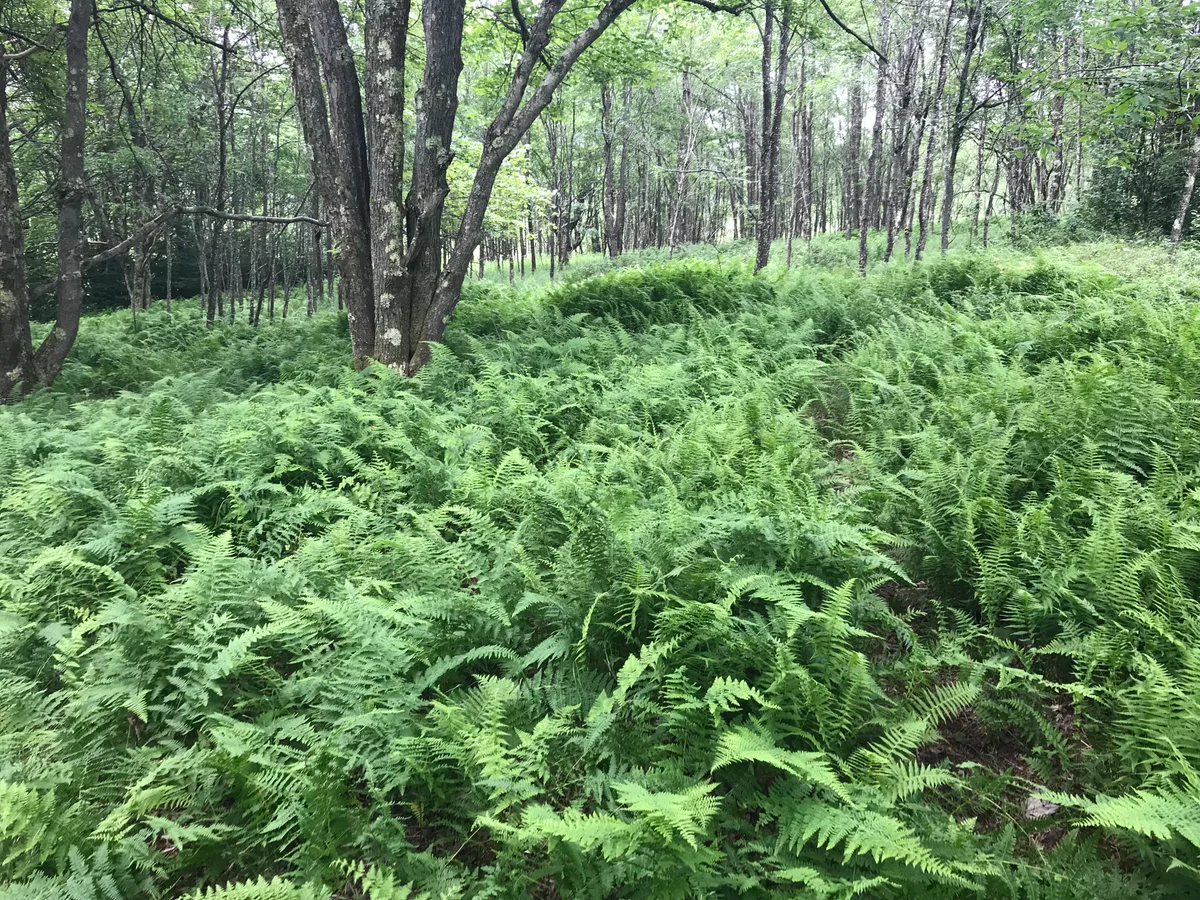
A 20-mile limestone canyon where the South Branch Potomac River winds between towering cliffs - named for smoke-like mist that rises from a cave. The canyon walls, river reflections, and complete absence of development create a genuinely remote atmosphere.
Photography Guide
- Best Time
- morning
- Crowds
- Quiet
- Shot Types
- landscapewateratmospheric
- Best Seasons
- fallspring
Author's Comments
The first time I drove through Smoke Hole I thought I had made a wrong turn somewhere. The road narrows, the cell signal drops, and then the canyon walls close in on both sides and the South Branch of the Potomac appears below you, moving slow and green between limestone that goes up several hundred feet in a single unbroken face. There is no town. There is barely a shoulder. It is the kind of place that feels like it should be better known and I am quietly glad that it is not. The name comes from the mist. On cool mornings in October, when the river is still warmer than the air, the canyon fills with a low vapor that moves like something breathing, and the cliffs above emerge from it in pieces. That is the photograph. You do not need to chase it. Route 28 runs the length of the canyon and there are pullouts every half mile, and if you start at first light and drive slowly you will find three or four compositions before the mist burns off. I bring a longer lens than I expect to use. The scale is hard to read in a wide frame, and the canyon rewards tighter crops - a single bend of river, a raptor on a cliff face, the layered recession of walls going back into haze. Spring works too, when the water runs higher and the new leaves come in against the gray stone, but fall is when this place earns its reputation. Bring water. Bring a full tank. You will want to linger longer than you planned.
Gallery
You might also like
Nearby Places

Seneca Rocks, WV
Seneca Rocks
A dramatic quartzite fin rising 900 feet above the North Fork Valley - one of the most distinctive geological formations in the eastern United States, and a landmark rock climbing destination visible for miles in every direction.
Davis, WV
Dolly Sods Wilderness
A high plateau wilderness of wind-sculpted red spruce, heath barrens, and rocky outcrops at 4,000 feet - the closest thing to a Canadian boreal landscape in the mid-Atlantic, with expansive sky and wildly exposed terrain.
Harrisonburg, VA
Reddish Knob
At 4,397 feet, Reddish Knob is one of the highest accessible peaks in Virginia - a grassy bald summit with a 360-degree panorama spanning the Shenandoah Valley, Allegheny highlands, and on clear days, the Blue Ridge.