
Seneca Rocks
Seneca Rocks, WV
A dramatic quartzite fin rising 900 feet above the North Fork Valley - one of the most distinctive geological formations in the eastern United States, and a landmark rock climbing destination visible for miles in every direction.
Photography Guide
- Best Time
- golden hour
- Crowds
- Quiet
- Shot Types
- landscapewidedramatic
- Best Seasons
- fallspringsummer
Author's Comments
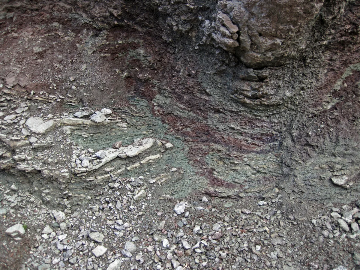
There is nothing subtle about Seneca Rocks. It rises out of the North Fork Valley like something that arrived by accident, a quartzite blade so vertical and unlikely that your eye refuses it for a moment before accepting that yes, this is real, this is just standing here in West Virginia as it has been standing for perhaps four hundred million years. I drove into the valley on an October morning with fog still pooled in the low ground, and the rocks caught the first direct light before anything else did. That is the thing to understand about a formation this vertical: it reads the sun differently than the surrounding hills. When the valley is still blue and cold, the face can already be burning. Come early and stay longer than you planned. The visitor center trail will take you up to a platform with a respectable view, but the photograph I wanted was from below. The North Fork runs shallow and quick through this valley and in fall the banks go yellow and red in a way that earns the drive. A wide lens from the valley floor with the river in the foreground and the rocks filling the upper third of the frame. The sky matters here more than in most places. A clear sky flattens things. Clouds with some weight to them give the formation the drama it deserves. Late afternoon light hits the southeast face. Morning light hits the other side. Pick your angle and commit. This is not a place where you wander and find the shot by accident. You read the light ahead of time and you put yourself in front of it and you wait.
Gallery
You might also like
Nearby Places

Seneca Rocks, WV
Smoke Hole Canyon
A 20-mile limestone canyon where the South Branch Potomac River winds between towering cliffs - named for smoke-like mist that rises from a cave. The canyon walls, river reflections, and complete absence of development create a genuinely remote atmosphere.
Harrisonburg, VA
Reddish Knob
At 4,397 feet, Reddish Knob is one of the highest accessible peaks in Virginia - a grassy bald summit with a 360-degree panorama spanning the Shenandoah Valley, Allegheny highlands, and on clear days, the Blue Ridge.
Davis, WV
Dolly Sods Wilderness
A high plateau wilderness of wind-sculpted red spruce, heath barrens, and rocky outcrops at 4,000 feet - the closest thing to a Canadian boreal landscape in the mid-Atlantic, with expansive sky and wildly exposed terrain.